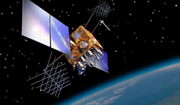
What are satellite navigation systems and how do they work? A satellite navigation system (also called Sat Nav system) is a network of orbiting satellites that transmit radio signals to compute and determine a specific location on or above the Earth.
Modern smartphones support one satellite positioning system or the other. Most of them support multiple systems. This article looks at the various operational navigation satellite systems around the world.
Sat Nav systems are extremely costly and so are operated by different countries or regions who foot the bill for manufacturing and launching the staellites into space, as well as keeping them functional. Each system comprises of multiple satellites, ranging from 4 to over 30 units.
Table of Contents
What is NavIC?
NavIC is also known as the Indian Regional Navigation Satellite System, a Sat Nav system operated by the government of India. It currently has 7 operational satellites covering India and surrounding regions. As such, it is a regional system, as against some others that are global in coverage.
NavIC uses a dual band system and is considered more accurate than GPS (NAVSTAR), the American satellite navigation system.
What phones use NavIC? The Indian satellite navigation system is new and Realme was the first smartphone manufacturer to implement it in their devices. The Realme X50 Pro, released in March 2020, is the first phone in the world with NavIC [1]. Other phone manufacturers that use NavIC include Xiaomi.
Which other countries run satellite navigation systems?
We have established that NavIC is India’s sat nav system. Besides India, there are four other nations operating a satellite navigation system offering global positioning
What is NAVSTAR GPS?
The satellite-based global positioning system operated by the USA is called NAVSTAR GPS. Everybody just calls it GPS anyway. Navstar is a network of U.S. satellites that provide global positioning system (GPS) services. They are used for navigation by both the military and civilians. These 24 main GPS satellites orbit Earth every 12 hours, sending a synchronized signal from each individual satellite.
Which phones use GPS? Being the first global sat nav system, GPS is the most widely deployed navigation system on modern smartphones. Every Android and iOS smartphone has GPS built in.
What is GLONASS?
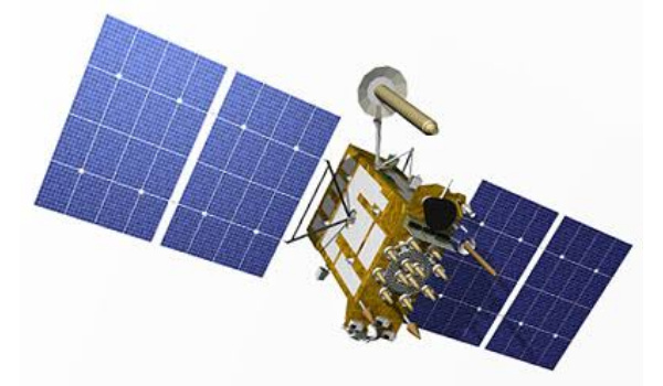
GLONASS stands for GLObal NAvigation Satellite System. It is Russia’s answer to the Unitesd States’ NAVSTAR GPS, also providing global coverage and a precision that is comparable, though not as accurate. At the time of writing, it has 24 operational satellites in orbit.
In 2007, access to civilian navigation signals of GLONASS became available to the general public – both Russian and foreign – free of charge and without limitations, and many smartphone manufacturers began to provide support for GLONASS.
Which phones use GLONASS? Russia’s GLONASS has been widely adopted and implemented in smartphones from many manufacturers, including: Apple, Huawei, HTC, LG, Motorola, Nokia, Samsung, Xiaomi, and ZTE.
What is BeiDou?
China’s BeiDou Navigation Satellite System is a sat nav system that includes 33 operational satellites. It initially offered regional coverage but was being expanded to a global system from 2018. It is said to have the potential to be more accurate than NAVSTAR GPS, GLONASS, and Galileo. BeiDou is also abbreviated to BDS.
Which phones use BeiDou? Naturally, Many Chinese smartphone brands have embraced BDS. Phones from Huawei, Xiaomi, use the system.
What is Galileo?
The European Union’s Satellite Navigation system, Galileo, has been a long time coming but is finally operational. This new system of positioning satellites is said to be more accurate than the US’ system.
Galilieo is operated on behalf of the EU by the European GNSS Agency, which has its headquarters in Prague in the Czech Republic. This global positioning system went into operation in 2016 and cutrrently has 22 operational satellites in orbit. More are on the way.
Which phones use Galileo? Quite a number of smartphones from Apple, Huawei, Google, BQ, and Meizu, among others already use Galileo satellite navigation system.
What is QZSS?
The Quasi-Zenith Satellite System (QZSS) is a Japan-specific satellite navigation system. So, you won’t find this on phones and devices measnt for territories outside of Japan. QZSS has 4 operational satellites in orbit.
Which phones use QZSS? Smartphones by Apple, Asus, Huawei, Kyocera, Sony, Fujitsu, and Sharp, among others, make use of Japan’s QZSS satellite system.
How to test your Android phone’s satellite navigation performance
You can test which sat nav systems your smartphone supports by downloading the GPS Test App from Google Play Store. Click HERE.
References
- First phones with NavIC: link.


